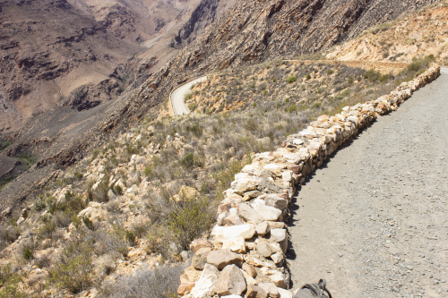
Record # 5458 -- Image Metadata
Historical photograph record:
| Record ID | 5458 |
| Photographer | Dawie De Swardt |
| Digital image number | DeSwardt_419 |
| Date of photograph | 1995/08/-- |
| Original caption | Swartbergpas |
| Location description | Swartbergpas |
| QDS | 3322AC |
| Coordinates | N/A |
| Attribution | rephotosa.adu.org.za - UCT |
Repeat photograph record:
| Repeat id | 293 |
| Record id | 5458 |
| Digital image number | DeSwardt_419 |
| Photographer | Petersen, Hana; Courtney Hundermark |
| Day | 6 |
| Month | 11 |
| Year | 2019 |
| Time period | 13:00 |
| Height camera (cm) | 144 |
| Height camera quality | MEASURED |
| Location description | On the right-hand side of the road going through the Swartberg Pass, in the direction of Prince Albert |
| Location cairn | YES |
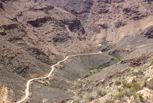
| Landscape changes | Slopes to the east and northeast are denuded, presumably by fire. The vegetation on the slopes in the foreground is moribund and thinner, compared to the original. More rocks are now exposed to possible erosion. |
| Weather conditions | Sunny, strong winds |
| Additional notes | |
| Latitude | -33.31409 |
| Longitude | 22.04418 |
| Coords uncertainty description | GPS: precision unknown |
| Coords source | GPS |
| Attribution | Petersen, Hana; rephotosa.adu.org.za; PCU; UCT |
| PCU repeat | NO |
| Published | YES |
| Date uploaded | 2020-02-28 15:17:16 |
| Date last updated | 2020-02-28 15:17:16 |
Main repeat photo:
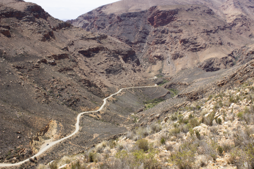
Wide-angle view:
Pan left view:
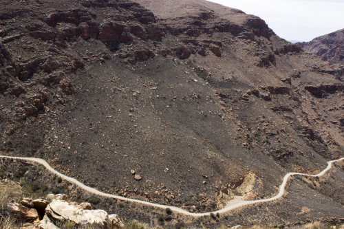
Pan right view:
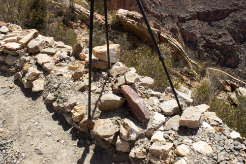
Tripod location (general):
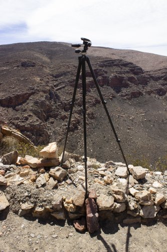
Tripod location (specific):