Record # 3431 -- Image Metadata
Historical photograph record:
| Record ID | 3431 |
| Photographer | Cooper |
| Digital image number | Cooper_672 |
| Date of photograph | no date recorded |
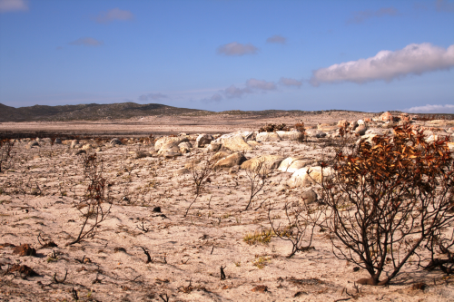
| Original caption | Cape Point after fire |
| Location description | |
| QDS | 3418AD |
| Coordinates | 34.269 18.445 |
| Attribution | rephotosa.adu.org.za - UCT |
Repeat photograph record:
| Repeat id | 183 |
| Record id | 3431 |
| Digital image number | Cooper_672 |
| Photographer | Watermeyer, John; Mark Kraus |
| Day | 5 |
| Month | 4 |
| Year | 2018 |
| Time period | 10:10 |
| Height camera (cm) | 95 |
| Height camera quality | MEASURED |
| Location description | On the Olifantsbos Road, 1.1 km from the main road to Cape Point |
| Location cairn | YES |
| Landscape changes | Very recent fire has burned the area - within the last month. |
| Weather conditions | Clear and sunny. |
| Additional notes | |
| Latitude | 34.26986 |
| Longitude | 18.44448 |
| Coords uncertainty description | GPS: precision unknown |
| Coords source | GPS |
| Attribution | Watermeyer, John; rephotosa.adu.org.za; PCU; UCT |
| PCU repeat | NO |
| Published | YES |
| Date uploaded | 2018-04-10 18:09:10 |
| Date last updated | 2018-04-10 18:09:10 |
Main repeat photo:
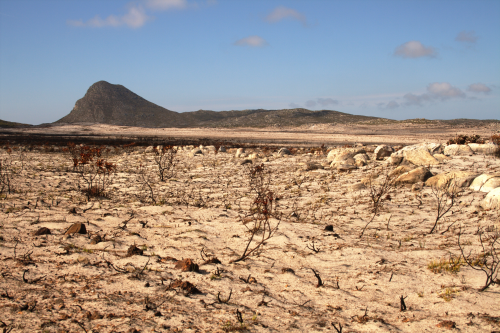
Wide-angle view:
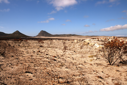
Pan left view:
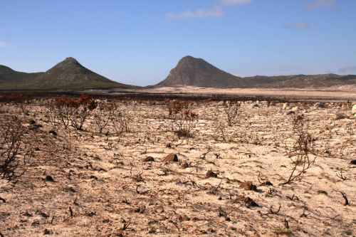
Pan right view: